About Before Central Park
With more than eight hundred sprawling green acres in the middle of one of the world’s densest cities, Central Park is an urban masterpiece. Designed in the middle of the nineteenth century by the landscape architects Frederick Law Olmsted and Calvert Vaux, it is a model for city parks worldwide. But before it became Central Park, the land was the site of farms, businesses, churches, wars, and burial grounds—and home to many different kinds of New Yorkers.
This book is the authoritative account of the place that would become Central Park. From the first Dutch family to settle on the land through the political crusade to create America’s first major urban park, Sara Cedar Miller chronicles two and a half centuries of history. She tells the stories of Indigenous hunters, enslaved people and enslavers, American patriots and British loyalists, the Black landowners of Seneca Village, Irish pig farmers, tavern owners, Catholic sisters, Jewish protesters, and more. Miller unveils a British fortification and camp during the Revolutionary War, a suburban retreat from the yellow fever epidemics at the turn of the nineteenth century, and the properties that a group of free Black Americans used to secure their right to vote. Tales of political chicanery, real estate speculation, cons, and scams stand alongside democratic idealism, the striving of immigrants, and powerfully human lives. Before Central Park shows how much of the history of early America is still etched upon the landscapes of Central Park today.
Before Central Park: Chapter Summaries
-
Introduction to Part I: Topography
For many centuries, the topography of the prepark was the determining factor for its social, economic, and military history. People settled where it was beneficial to human habitation; where the topography was challenging, people stayed away. Native Americans, the local Lenape in particular, did not create settlements on the land that became Central Park but worked the rich agricultural fields that encompass today's central Harlem abutting 110th Street. A combination of topographic elements from about 92 to 110th Streets was unique to Manhattan Island. It provided the prepark's first European settlers with much of what they would need for food, shelter, agriculture, and protection.
-

Chapter 1: The First Settlers, 1625–1664
The de Forest/de la Montagne family was the first Europeans to settle in Central Park. As Protestants, they had escaped religious prosecution from Catholics in France/Belgium. The chapter follows the first settlers from their years in Leiden to the wilds of what would later become Harlem, as they make their new livelihood as tobacco farmers on their 200-acre bouwerie, part of it in the prepark. Unfortunately, by the mid-1640s, the relationship between the Europeans and the Lenape evolved into "Kieft's War," a brutal and horrific conflict that devastated the New Amsterdam colony.
-

Chapter 2: Along the Kingsbridge Road, 1683–1845
The northern end of Central Park featured Kingsbridge Road, the main highway through Manhattan Island. Along the road were several taverns, the largest owned by the McGowan/Benson family, one of the wealthiest and most prominent families in the eighteenth century and nineteenth century Harlem.
-

Chapter 3: The Enslaved Bensons, 1754–1846
Learn about the remarkable story of Lanaw Benson, enslaved for decades by members of the Benson family, who became the first Black person to own property in the future Central Park in 1799.
-

Chapter 4: The War at McGowan's Pass, 1776–1784
A top-secret meeting on September 12, 1776, between General George Washington and twelve of his generals, took place in what is now Central Park. This chapter is the first publication to relate this significant event and its repercussions in the story of New York during the Revolutionary War. New York was a British stronghold during the war, and the chapter relates many personal stories of both British and Hessian soldiers who camped within the confines of the prepark.
-

Chapter 5: Valentine Nutter, 1760–1814
Valentine Nutter, a large prepark landowner, obtained his property due to a mysterious relationship and possibly fraudulent will written by the unmarried Lawrence Kortright, Jr. to Nutter's mother, Sarah. The chapter relates the story of Nutter's book business, his exile to Canada after the Revolutionary War, and a detailed description of his prepark farm that encompasses today's Harlem Meer and the North Woods.
-

Chapter 6: The War of 1812, 1805–1814
The fort landscape in the upper park was once the site of four fortifications constructed in 1814: Forts Fish and Clinton, Nutter's Battery, and the Barrier Gatehouse over the Kingsbridge Road. This chapter discusses the causes of the war, the charming story of a group of apprentice butchers who built one of the fortifications, the powder house's history (on the site of today's Central Park Zoo), and the Blockhouse, still standing in Central Park.
-
Introduction to Part II: Real Estate
In 1811, the Commissioners' Plan was unveiled and transformed Manhattan into a grid of streets and avenues. The frenzy of real estate development trumped the challenging topography that had once thwarted the purchase of the prepark land. It was the end of an era for prepark landowners. Landowners divided their prepark property on the west side in Bloomingdale, stretching from Seventh and Eighth Avenues. However, a few old families, the Somarindycks and the Apthorps retained their land. In the 1820s, the Bensons and Nutters of Harlem sold their land to real estate speculators for division into salable lots. Finally, in 1796, New York City divided its common lands—considered a part of Yorkville—and sold it off into five-acre parcels, much of it in the future park.
-

Chapter 7: Dividing Bloomingdale, 1667–1790s
The west side settlement that encompassed the strip of land from 59th Street to 106th Street, Seventh to Eighth Avenue, a part of the larger Bloomingdale community, had been an investment opportunity and later some farmland from the 1660s. However, from the North (Hudson) River to Seventh Avenue, the land became a country retreat for wealthy elite New York families. One of them, loyalist Oliver Delancey, had a shocking attack on his river mansion that may have led to his family spending the night in what became Central Park.
-

Chapter 8: Dividing Bloomingdale, 1790–1824
In the late eighteenth century, many middle-class landowners seeking a country experience or real estate investment began to buy the Bloomingdale properties. One landowner, cartman John Whitehead, and his wife Elizabeth purchased an eighteen-acre strip in 1824. He sold to a group of free Blacks and their African Methodist Episcopal Zion Church the following year to become Seneca Village. No history of Seneca Village has ever researched the Whiteheads before, and the results suggest that the couple most likely did it out of social concerns.
-

Chapter 9: Dividing Bloomingdale, Seneca Village: The Residents, 1825–1857
Seneca Village, the only African American land-owning community in New York, has been known primarily for the settlement's demise to create Central Park. Before Central Park offers new, unpublished research that reveals the community's financial life as one of Black empowerment and enrichment. The chapter profiles many of its landowners, the politics and issues of the day, and several of the real estate transactions of the property owners for three decades. In addition, many individual landowners are profiled, including one formerly enslaved resident.
-

Chapter 10: Dividing Bloomingdale, Seneca Village: The Black Leaders, 1825–1857
Many Seneca Village landowners never lived in the prepark and held their land as a good investment rather than as a place of residence. They included many of New York's Black religious and political leaders and a group of remarkable Black entrepreneurial women. Research suggests that many leader-activists might have planned to use their property as a stop on the Underground Railroad.
-

Chapter 11: Dividing Harlem, 1825–1843
After the wildly successful Erie Canal opened in 1825, two entrepreneurs hatched a plan to create a canal through Harlem, touching on what is today's Harlem Meer landscape. The development affected the life of Valentine Nutter and other Harlem residents.
-

Chapter 12: Dividing Yorkville, 1785–1835
The common lands of New York stretched in the prepark from east 59th Street to Seventh Avenue 92nd Street on the west side. The rocky and swampy landscape prevented any cultivation or residential for centuries until the corporation of New York began to sell it off in the late eighteenth century. As a result, we know a great deal about the lives of three of its biggest landowners, James Amory, David Wagstaff, and Benjamin Romaine, who together owned some of the park's most famous landscapes: the Mall, Sheep Meadow Cedar Hill, Bethesda Terrace, Cherry Hill, and a section of the Reservoir.
-

Chapter 13: The Receiving Reservoir, 1835–1842
The building of the receiving reservoir, today's Great Lawn, was a part of New York City's most significant infrastructure improvement of the nineteenth century. Research revealed the labor riots on the site and the effect the structure had on the prepark owners, including those in Seneca Village.
-

Chapter 14: A Changing Land, 1845–1853
In the 1840s, America experienced its most significant Irish and German immigration wave to date. Many of the first or second generations of immigrants made their home in the prepark. The chapter explains their livelihood as farmers, piggery owners, owners of bone-boiling establishments, and the residents of a Motherhouse for two hundred Catholic sisters and their female students. The chapter also reveals the existence of several prepark cemeteries created due to the cholera epidemic that swept through New York in the late 1840s.
-

Chapter 15: The Battle of the Parks, 1844–1852
The choice for the park site was between Jones Wood on the east side of Manhattan and "the central park." New material puts the decision in the context of real estate speculation sweeping the city and overinflating land prices. The example of two landowners, Mary Ann Reckless and the descendants of Epiphany Davis, became victims of that speculative wave.
-

Chapter 16: Becoming Central Park, 1853–1856
Before Central Park reveals for the first time the devious schemes and machinations of Daniel Sickles, a Civil War general, robber, and murderer, who declared himself to be "the Founder of Central Park." With help from the governor, the corporation counsel Robert J. Dillon, and an upstate Supreme Court judge, Sickles employs his behind-the-scenes charisma and chicanery to make Central Park a legal reality officially.
A recent discovery resolves the mystery of how much money each landowner and a few renters in the prepark received from the City of New York to create Central Park. The book analyses the data and the determining factors that reveal the outcome for almost every prepark landowner.
-

Chapter 17: The First Commission, 1855–1857
The first commissioner of Central Park was Fernando Wood, arguably the city's most corrupt mayor. How Wood manipulated the political system to control the early park and how he chose Lieutenant Egbert Viele as the first designer is an unpublished story. Viele did some significant work that remains in the park today, and because of his design, he may also be indirectly responsible for the Black community being named "Seneca Village."
In the controversial sixteen months of May 1856 to October 1857, all the prepark residents became the City of New York tenants. The chapter will discuss the people who received their awards and left the prepark, the residents who chose to stay, and the conditions of their leases with the city.
-

Chapter 18: Designing Central Park, 1857–1858
Choosing the design for Central Park involved politics, personalities, and park design preferences. On April 28, 1858, the eight-hour meeting to select the winning designs was never discussed in detail and will provide insight into the commissioners' choices and influences. The chapter discusses the superiority of Olmsted and Vaux's Greensward plan, the other designs, and the solution to the forced modifications into the design by commissioners Robert Dillon and August Belmont.
-

Chapter 19: Extending the Park, 1859–1863
The story of acquiring the last four blocks of Central Park, 106th to 110th Street, has many twists and turns—some quite amusing—before the city purchased the properties in 1863. Several of the Harlem landowners or their descendants that we met in previous chapters return for a surprising ending.
-

The Epilogue: America’s Park
Before Central Park concludes with a significant statement about Central Park and its role in American history.
-

The Afterword
The Afterword by Elizabeth W. "Betsy" Smith, President and CEO of the Central Park Conservancy
Readers will meet the president and learn about the successful role of Central Park's current management by the Central Park Conservancy and how they can participate as visitors and members.
-
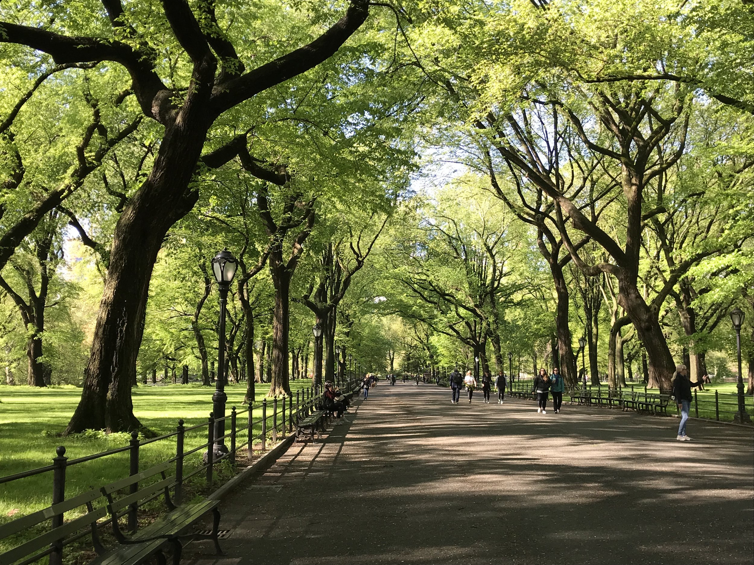
The Illustrations
Before Central Park is a richly illustrated book, portraits of many little-known people profiled in the text make the story of the prepark come alive as never before. Historical maps and drawings of prepark sites, a commissioned painting of the first prepark homestead of 1637, many photographs by the author of the contemporary park, and the most up-to-date Central Park Conservancy map to help orient the reader.